Combined Sewer Overflows Monitoring
Much of the urbanized sections of the Delaware River Basin run on a combined sewer system. Meaning, the same pipe that carries stormwater runoff also carries domestic sewage and industrial wastewater. During a typical, sunny day, the system transports its wastewater to the treatment center to be cleaned and recycled back into the waterway. However, when it rains and the system becomes overloaded, wastewater is discharged directly into nearby waterways – causing what is known as a Combined Sewer Overflow, or CSO.
CSOs can lead to impairments in water quality and health risks to those recreating in the water. They carry not only raw sewage, but also industrial wastewater and pollutants from roads and parking lots so nearby waterways are inundated with pollution that can reduce water quality health and cause harm to fish, wildlife, and the surrounding communities.
Aging infrastructure, improperly managed or failing systems, lack of green spaces and an excess of impervious surfaces can all lead to frequent CSOs. In many areas, sewage backups into yards and basements can also be a common symptom tied to these problems. Unfortunately, lower income communities and communities of color are often disproportionately exposed to raw sewage during overflows, exacerbating their cumulative exposure to pollutants emanating from nearby industries or pollution sources.
Does your neighborhood have CSOs?
Each state has information on the location and discharge status of combined sewer outfalls:
- New York: Input your location into NY’s CSO Map
- Pennsylvania: This webpage provides a link to an excel file that lists out existing and former CSO communities in PA.
- If you live in Philadelphia, the Philadelphia Water Department created a CSOcast website to map CSOs locations in the city and displays discharge data.
- New Jersey: Input your location into NJ’s CSO Outfall Map
- Delaware: You can find a map of Wilmington’s CSOs in their Long Term Control Plan. While you’re in there, review their plans, priorities, and projects and check in with DNREC about their progress!
What do CSOs look like?
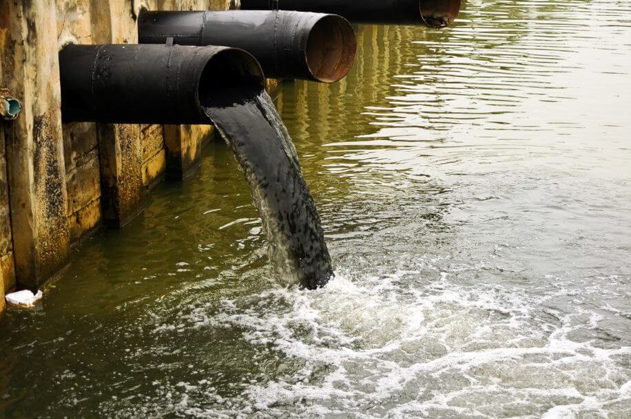
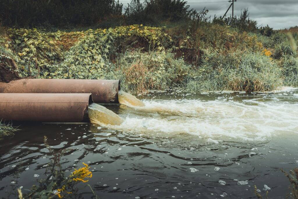
Outfalls are large pipes or tunnels along the streambank. They may be hidden under water during times of high water, or sticking out clear as day. Use the map links above to find their general location, and if it is safe and accessible to do so – go check them out! Be sure not to trespass!


Action Steps
Making Observations
If you have observable and accessible outfalls nearby, take notes! Bring a notebook and record what you’re seeing. Get in touch with your local watershed association and let them know what you’re tracking. Here are some suggestions:
- Recent rain fall – when did it last rain, how much?
- Is the CSO currently discharging?
- How is the water clarity? Is the water muddy or clear? Is there debris or other floating objects to note?
- Are there fish and wildlife present? Note which specific species if known.
- Anything of note downstream, upstream, across the stream?
- Is fishing or recreation on or near by water occurring?
- Is there vegetation present? Has it changed over time?
- Are there any signs or notices on or nearby the CSO? What do they say?
Be sure to take pictures!
IF you observe a CSO actively discharging and it has not rained recently, there could be a malfunction in the system that needs to be repaired or a discharge is occurring illegally.
Time to take action!
- Contact the owner of the CSO (the CSO map links provided above should give you information on who operates the system)
- Contact your state’s environmental agency
- Check back: If it does not get resolved in a timely manner, continue to alert your state’s environmental agency.
- Reach out to your watershed organization and ask about water quality monitoring – do they currently have a program? Are they interested in starting a program? Bacteria data and observational data can be power tools to advocate for better water quality protections! Check out how Bartram’s Garden is using their data for action here!
Reviewing Permits
Every CSO should have a permit. These permits and information on how your state implements the permits can be found on your state’s NPDES* webpage:
Find the permit for the CSOs you are observing and write down the permit number. You’ll need this if you ever have to report a discharge.
When reviewing the permit:
- Make note of the end date and follow up if it has expired or is close to expiring. Public comments are required on all new permits and permit renewals. Sign up for your state’s permit review email list serve to receive notifications.
- What are the reporting requirements?
- Are there any violations recorded?
If your city has CSOs, it should also have a Long Term Control Plan. All plans should be available through a simple online search (ex: google “Wilmington DE Long Term Control Plan”)
When reviewing the plan:
- What is the timeline for completion of the plan?
- Can the timeline be shortened, especially if the communities most impacted are overburdened with pollution?
- Can affordability challenges be addressed by accessing more grant funding through the CWSRF program or other water infrastructure funding?
- Public participation is a key part of the development of LTCPs. Keep track of end dates and renewals so you can participate in commenting on the new plans.
How the Network Is Monitoring CSOs
Buffalo Niagara Waterkeeper
Their water quality monitoring program collects bacteria samples on both wet and dry weather days at sites with and without CSOs. They post their results on their website and determine if their samples “pass” or “fail” water quality criteria. They have also mapped out the CSO locations and added those to their maps and sampling locations. Check out their data findings in their annual Riverwatch Report.
When their data shows instances of dry weather discharges, they take action! They alert the public via social media and reach out to the city and the wastewater treatment plant to draw attention to it. They sometimes will follow up and re-sample the site a few days later to determine if it is an ongoing issue (like a leak). Sometimes un-reported discharges may relate to power outages at the wastewater treatment plant.
Center for the Urban River at Beczak
CURB is working to keep the public informed by posting their bacteria data on signage at a local park along the Hudson River, as well as on their website. They compare their bacteria data with rainfall events, and provide the data analysis to their community members and volunteers to use it for advocacy with their local governments.
Mobile Baykeeper
In Alabama, the Mobile Baykeeper tracks sanitary sewer overflows using a map on their website. They have also created a notification system for reporting spills where community members can quickly and easily take action on what they are seeing in their neighborhoods.
Through the hard work of Waterkeepers in the state and Alabama Rivers Alliance, advocates have been successful in improving regulations on public notifications of sewage spills. Utilities are now required to have emergency response plans that meet certain criteria as a part of their NPDES permit and the state has been called on to create their own map and email notification program. As work continues to resolve the crux of the problem- wastewater infrastructure and sewage spills- communities have a right to know when their waterways have been polluted and may be unsafe for them and their families.


