Flood Monitoring for the Delaware River Basin
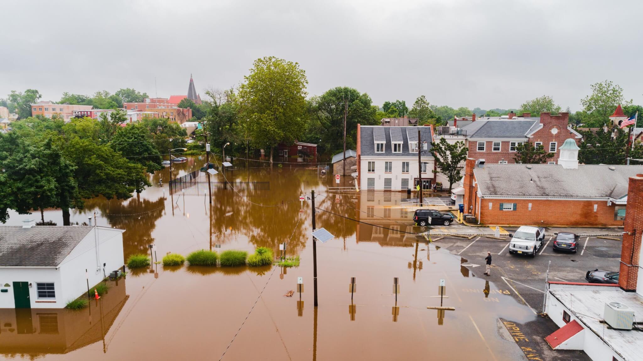
Flooding is a common hazard across the US, including in the Delaware River Basin. As the intensity and frequency of powerful storm events increases due to climate change, communities will need to understand flood risks, know where flooding will likely be most severe, and establish plans to build flooding resiliency.
Recording and reporting flooding can help local and state efforts to resolve infrastructure issues and create more resiliency in your community. Remember- floods can be dangerous and deadly. Never put yourself in harm’s way while collecting flooding data.

Action Steps
There are many ways to identify flooding issues, and you’re preferred method may shift depending on your goal – what do you hope to achieve by collecting and sharing your data?
- Identify where flooding is likely to reoccur. Who is impacted?
- For example, after a rainstorm, map where stagnant water exists in your neighborhood. Observe how long it remains and how deep/extensive it is.
- Identify the cause of flooding- heavy rainfall, clogged drains, extensive impermeable surfaces, proximity to canals, streams, or rivers, etc.
- Use data to inform community members of steps they can take to reduce risk of flooding
- Use data to present reasoning to local government that investment is needed to make changes to infrastructure to increase resiliency, and/or to strengthen codes and ordinances to improve flood readiness.
- Use data to plan where green stormwater infrastructure should be created.
Contact Info by State
You may be able to report data to your city or county, instead of or in addition to the state. Some examples:
New York
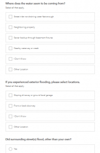
- NYC has a street flooding form that residents can fill out detailing if it is or was raining, if there is standing water, if any debris is coving drainage grates, where flooding is occurring
New Jersey
- Resilient New Jersey Raritan River and Bay Communities program plans for climate change mitigation and seeks public involvement, including sharing flooding information through a mobile app called Irys.
Pennsylvania
- Philadelphia Water Department operates a 24-hour water emergency line (215) 685-6300.
- The city of Philadelphia has an online survey to report flooding
Delaware
- Let us know if you have an example from Delaware!
Existing Tools
- River Network’s Community Led Research Guide
- Delaware River Basin Commission Federal and State Flooding Resources
- Creating Flood-Ready Communities: A Guide for Delaware Local Governments
- Complete Communities Toolbox: Flood-Ready Communities
- Community Flood Watch Project – a network of residents and organizations who report local flooding in NYC coastal communities.
- New York FloodSense Project
How the Network Is Monitoring Flooding
River Network supports community-led research (CLR) efforts across the country, including in Somerville, MA where Groundwork Somerville’s Green Team surveyed a neighborhood impacted by flooding who weren’t reporting flooding incidents. The surveys revealed increased flooding risks from extensive impervious surfaces. Groundwork Somerville used this information to engage local decision-makers to invest in infrastructure projects to alleviate flooding. Explore more community led research projects that used data collected by and for community members to make change at the local level around flooding issues in this blog post.
The Ellerbe Creek Watershed Association (ECWA) in Durham, North Carolina leads a “Creek Watchers” community-led participatory monitoring program of urban flooding and creek health. ECWA provides stipends for members who sign up to be in a Creek Watcher cohort.


